
Click below to launch a short demo video that will help you get started with Population Explorer!
PopEx App Demo Video

Getting Started: Target Groups and Items
Consider this article your introductory course in Population Explorer. Here we will cover the basics of navigating the interface, managing Target Groups, and pulling data using Items. We will also cover some tips and tricks as well as best practices for your industry.

Shapefiles and Markers
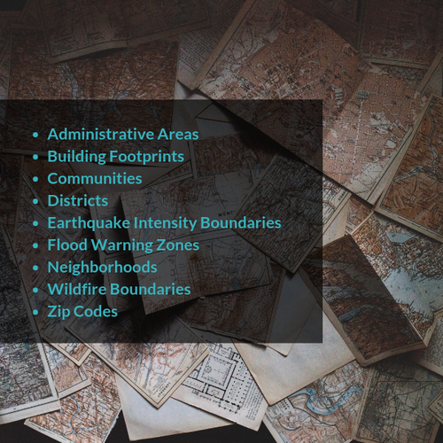
Another exceptional feature of the Population Explorer tool is the ability for users to upload and analyze shapefiles. Whether you're looking to retrieve population and demographic statistics for a specific neighborhood, or analysing a recent geographic phenomenon, this convenient feature makes it easy to extract these data. In this post, we discuss specifics about shapefiles and outline how you can effectively add these layers to your next project.

Map Settings
In this article learn how to better leverage your interface by introducing basemaps, population density, marker labels and pan and zoom tracking.
Open Source Data
Finding the right open source boundary and location data can be tricky. Thankfully, we are here to help! In this article, we share some of our favorite open source data websites so you can effectively take your population analysis to the next level.