
Draw a radius around any location and instantly calculate how many people live within that area. Whether you're evaluating a site, defining a territory, or analyzing a market, you can get answers in seconds.
Draw a Radius and Instantly See Population
Draw a radius around any location and instantly calculate how many people live within that area. Whether you're evaluating a site, defining a territory, or analyzing a market, you can get answers in seconds.
Watch this quick video to measure population in a radius anywhere in the world, or follow the step-by-step instructions below:
How Many People Are Within Your Target Area?
Every location decision starts with the same question:
Is there enough population here to support a new store?
How far will customers realistically travel?
Is this territory too small or too large?
A simple radius gives you a fast way to define an area. But the real value comes from understanding what’s inside it.
Population within a radius is one of the fastest ways to evaluate a market before going deeper.
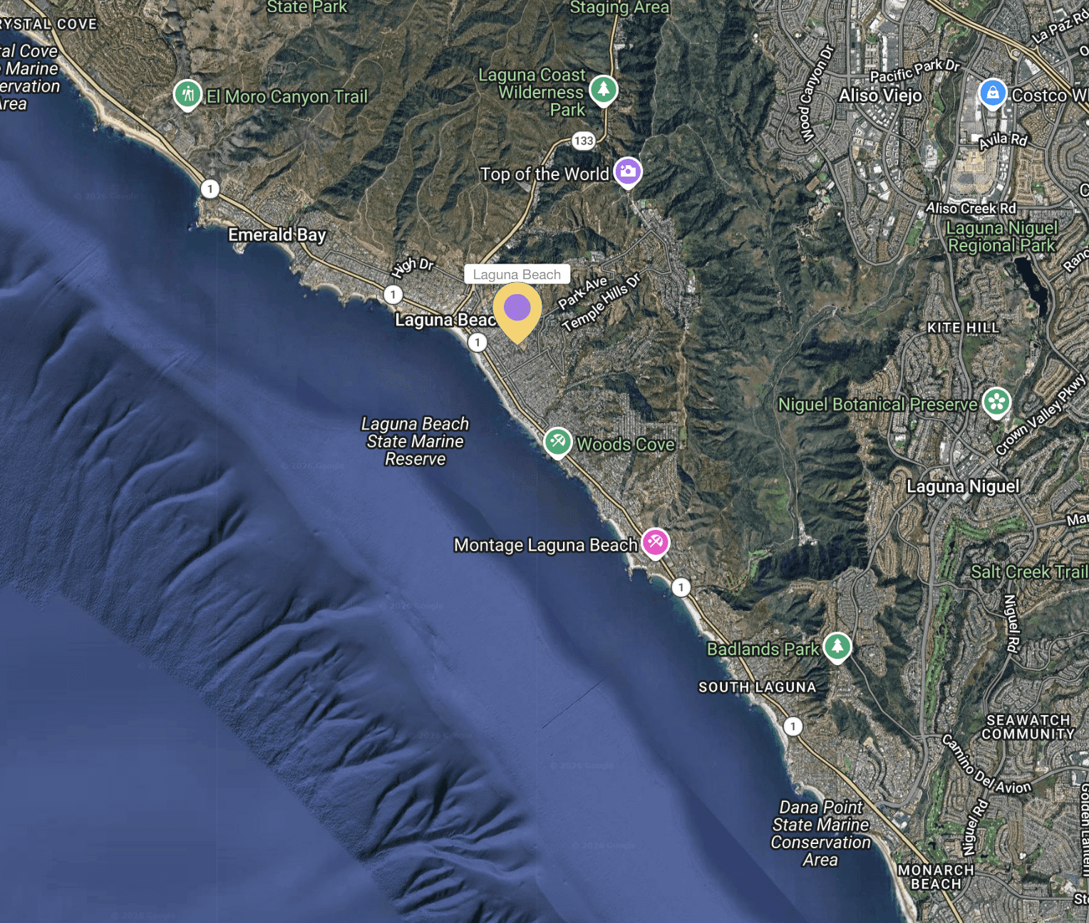
What Is a Radius Map?
A radius map is a circular area drawn around a specific location.
For example, you might draw:
a 1-mile radius around a retail site
a 5-mile radius around a clinic
a 10-kilometer radius around a city center
This represents a straight-line distance from a central point.
It’s a quick way to define a trade area, especially when you need a fast estimate of reach.
→ Draw your own free radius now
Go Beyond Radius Maps — Measure Population Within Any Area
A radius map shows you where.
Population data shows you what’s there.
Instead of just drawing a circle, you can measure:
Total population within the radius
Population density
Demographic and income data
This is what turns a simple map into a decision tool.
→ How to measure population in any area
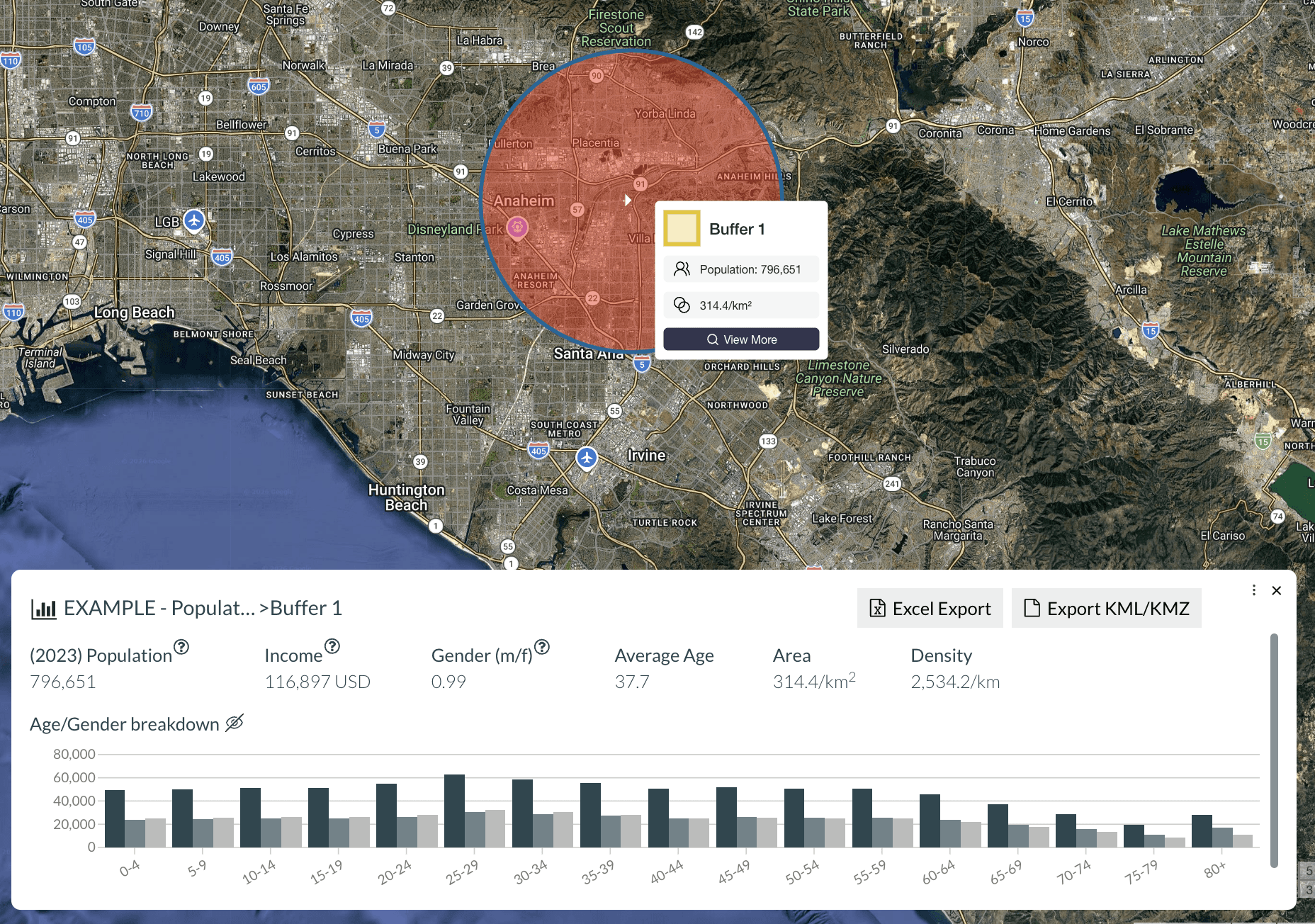
How to Calculate Population Within a Radius
Calculating population within a radius takes just a few steps:
1. Choose a location
In Population Explorer, either zoom in through the map viewing pane to save a marker on your ideal location, or search for the location through the POI feature.
2. Set your radius
Define the size of your area — for example, 1 mile, 5 miles, or 10 km using the 'buffer tool' in Population Explorer.
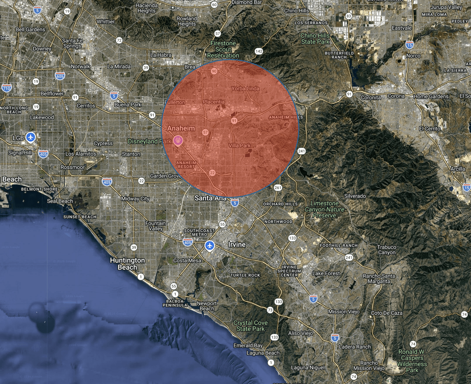
3. Measure population
Either hover over the shape, or click it to reveal total population with age and sex disaggregation.
When to Use a Radius Map
Radius maps are most useful when you need a fast, consistent way to evaluate an area.
Site Selection
Quickly assess whether a location has enough nearby population to support a new store, clinic, or service area.
→ Learn more about finding optimal retail locations
Franchise Territory Planning
Define territories with consistent population coverage, helping ensure fairness and performance across locations.
→ Learn more about mapping ideal franchise territories
Sales Territory Design
Balance territories based on population instead of arbitrary boundaries, reducing overlap and improving coverage.
→ Learn more about creating balanced sales territories
Market Analysis
Understand how demand changes across different locations by comparing population within similar radii.
→ How to compare different markets
Radius vs Drive Time — What’s the Difference?
A radius measures straight-line distance.
A drive time measures how far someone can travel using real roads within a set amount of time.
Radius → fast, simple, consistent
Drive time → more realistic, more precise
Radius is ideal for quick analysis and early-stage decisions.
Drive time is better when travel behavior matters.
→ Measure population in a driving distance
Analyze Competitors Within Your Radius
Population is only part of the picture.
You can also analyze what else exists within your radius:
Competitor locations
Retail clusters
Points of interest
This helps answer questions like:
Is this market already saturated?
Are there gaps in coverage?
Where are competitors concentrated?
Frequently Asked Questions
How do I calculate population within a radius?
Choose a location, define a radius, and generate the area. Population Explorer calculates how many people live within that boundary instantly.
What is a radius map used for?
Radius maps are used to define trade areas, evaluate locations, design territories, and understand market reach.
What radius should I use for site selection?
It depends on the business. Smaller radii (1–3 miles) are common for urban retail, while larger radii (5–10+ miles) are used in suburban or rural areas.
What’s the difference between radius and drive time?
A radius is a straight-line distance. Drive time accounts for real roads and travel conditions.
Is radius-based analysis accurate?
It’s a fast and useful approximation. For more precise analysis, especially where travel matters, drive-time areas are more accurate.
Start Mapping Your Area
Understand how many people live within your target area in seconds.
Explore our latest thinking on franchise territory design, retail site selection, and the population data that powers smarter location decisions.

Jun 26, 2026
The Cornfield Effect
The cornfield effect is a systematic error in demographic analysis that occurs when census data attributes population to uninhabited areas (e.g., farmland, parks, industrial zones) within a census boundary. This distortion leads to overestimates of customer density and misguided location decisions with notable, negative impacts on franchise territory design and retail site selection. Constrained population models, such as WorldPop Global 2, eliminate the cornfield effect by assigning population only to areas where human settlements have been confirmed to exist.

May 22, 2026
You Can Create a Franchise Territory in Less Than 2 Minutes
Franchise territory mapping no longer has to mean expensive consultants, complex GIS software, or weeks of setup. Modern tools let franchisors create, evaluate, and compare protected territories in minutes.

May 22, 2026
At What Point Does a Franchise Need Territory Mapping?
Not every franchise needs rigorous territory mapping on day one. But once territory decisions begin affecting franchise sales, market protection, expansion planning, and long-term network value, the stakes change quickly.
